GLTN Promotes the use of GeoInformation for Mapping Land Rights in Mozambique
April 2, 2015 - GLTN and the Regional Center for Mapping Resources for Development (RCMRD) co-facilitated an orientation training workshop on the Social Tenure Domain Model (STDM) and the Quantum Geographical Information System (QGIS) for three IFAD supported projects in Mozambique, PRODIRPA, PROSUR and PROMER. The aim of the orientation was to create awareness of STDM and QGIS including the principles, practice, use and application to mitigate against resource conflicts, strengthen security of tenure, promote sustainable use and equitable sharing of communal water and grazing resources among community members, as well as a project management tool. The orientation training workshop was held from 3rd to 4th March 2015 in Maputo, Mozambique and was attended by 36 members of staff of the IFAD supported projects and partners in Mozambique.
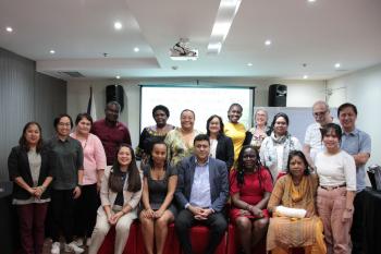
Group photo
This orientation training workshop was organized as part of the IFAD and UN-Habitat/GLTN’s partnership on "Land and Natural Resources Tenure Learning Initiative for East and Southern Africa" (TSLI-ESA) that aims at documenting, testing and sharing tools and approaches for strengthening land and natural resources tenure of the target communities in IFAD supported projects and programmes in selected countries in East and Southern Africa region.
The first day of the orientation workshop focused on the technical presentations of the QGIS and STDM, the concepts, history, use, and application with illustrations and examples from projects implemented by GLTN partners. The second day focused on looking at the design, spatial and attributes data collection and database management, analysis, and map creation / presentations of outputs based on the GIS designs of selected IFAD supported projects.
Participants at the orientation training workshop in plenary
The participants expressed the importance of the orientation training and indicated that they have a great need for geo-spatial technologies to help farmers determine and record with accuracy the size and boundaries of their farms so as to enable them to enhance their security of tenure and increased production of their commodities produced. Mr Jose Mussagy of PROMER-GAPI stated that “we want to use the geo-spatial technologies to help our farmers in crop rotation and production management so that they can know ahead of time how much they will be able to supply the market, a thing that will boost confidence of the buyers of the commodity.”
As part of the follow up action point participants agreed that they would brief and discuss the application of STDM with their respective team leaders, colleagues and GIS service providers and each team would then develop and send a proposal to GLTN outlining the support they require on the application of STDM in their activities.


